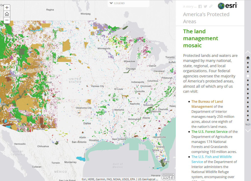
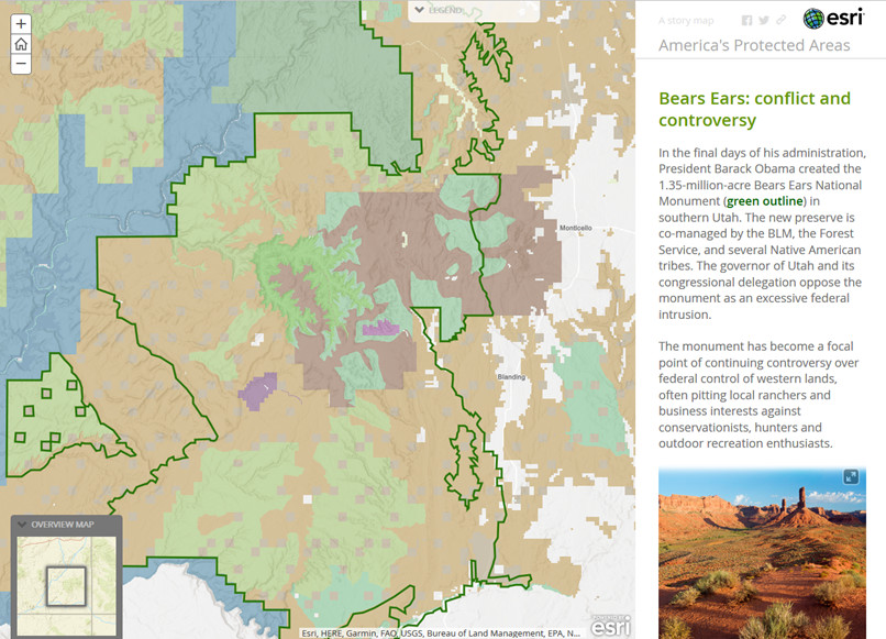
One of the uses of PAD-US is for explaining public lands and protected areas to very broad audiences. The Story Maps team at Esri developed a web application on their platform for Earth Day that features PAD-US, to provide just such a primer.
Story Maps are special web browser templates that let users easily present text, images and of course interactive maps. The one developed for PAD-US provides an overview of the types public lands in a series of 15 “pages”, most with an interactive map of PAD-US data plus a paragraph or two of explanatory text and often a photo. Here’s an example of a couple of these pages – check out https://storymaps.esri.com/stories/2017/protected-areas/ to see the entire story:

