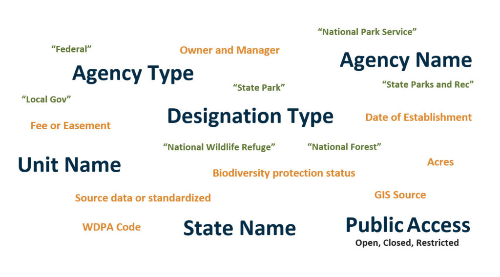
 The Protected Areas Database of the United States (PAD-US) is the official national GIS inventory of protected areas, as provided by managing agencies and organizations, and is produced by the USGS. PAD-US contains over 436,000 land and marine units, managed by more than 30,000 agencies and nonprofit organizations. This full inventory of land and water includes fee ownerships, overlapping designations, proclamation boundaries, conservation easements, and Marine Protected Areas. PAD-US is made up of many agencies’ datasets and updated periodically. PAD-US is mostly complete for Federal areas and most State lands. Efforts are ongoing to improve completeness for all local and regional parks and open space areas, and for conservation easements (which come from the National Conservation Easement Database), but individual states can vary from extremely complete to not very complete at all.
  The Protected Areas Database of the United States (PAD-US) is the official national GIS inventory of protected areas, as provided by managing agencies and organizations, and is produced by the USGS. PAD-US contains over 436,000 land and marine units, managed by more than 30,000 agencies and nonprofit organizations. This full inventory of land and water includes fee ownerships, overlapping designations, proclamation boundaries, conservation easements, and Marine Protected Areas. PAD-US is made up of many agencies’ datasets and updated periodically. PAD-US is mostly complete for Federal areas and most State lands. Efforts are ongoing to improve completeness for all local and regional parks and open space areas, and for conservation easements (which come from the National Conservation Easement Database), but individual states can vary from extremely complete to not very complete at all.