A Resource for the Protected Areas Database of the United States (PAD-US)

Uses

Analyzing Species Protection Status

Keeping common species common is the mission of the USGS Gap Analysis Program. GAP uses science and data to assess where species are and what the protection status is of their habitat. By evaluating the likely habitat ranges and populations of wildlife and plant species, in relation to how much of their area is securely conserved, “gaps” can be determined, and policies applied to aid in species conservation.

Read more
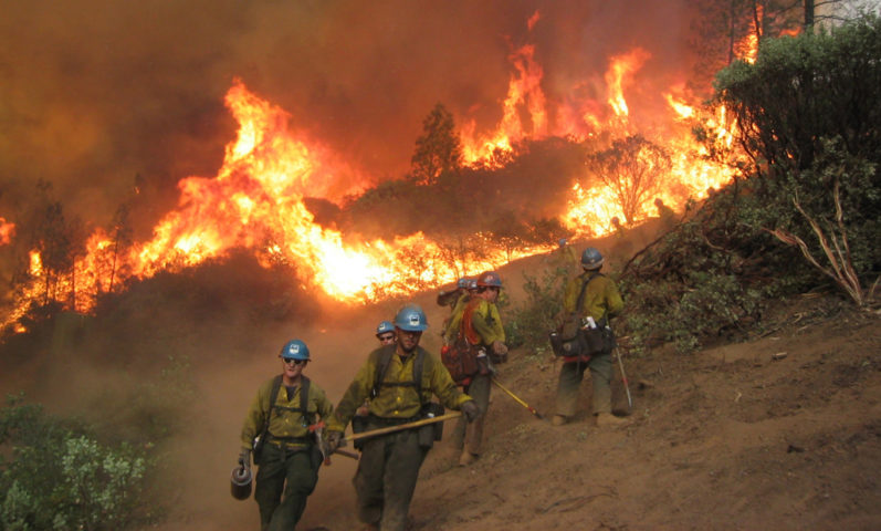
USGS Supports Wildland Fire Decision Support

Fire fighting photo

The National Wildfire Coordinating Group relies on the Protected Areas Database of the United States (PAD-US) geodatabase for land management and designated area boundaries in analyses for decision-making related to wildland fires, particularly in the Western United States. Andrew Bailey,…

Read more

NRCS uses PAD-US for Conservation Planning

The National Resource Conservation Service (NRCS) is required to conduct an Environmental Evaluation (EE) for all conservation plans. One of the special environmental concerns assessed on the evaluation form is the proximity to Natural Areas. This is where PAD-US applies….

Read more